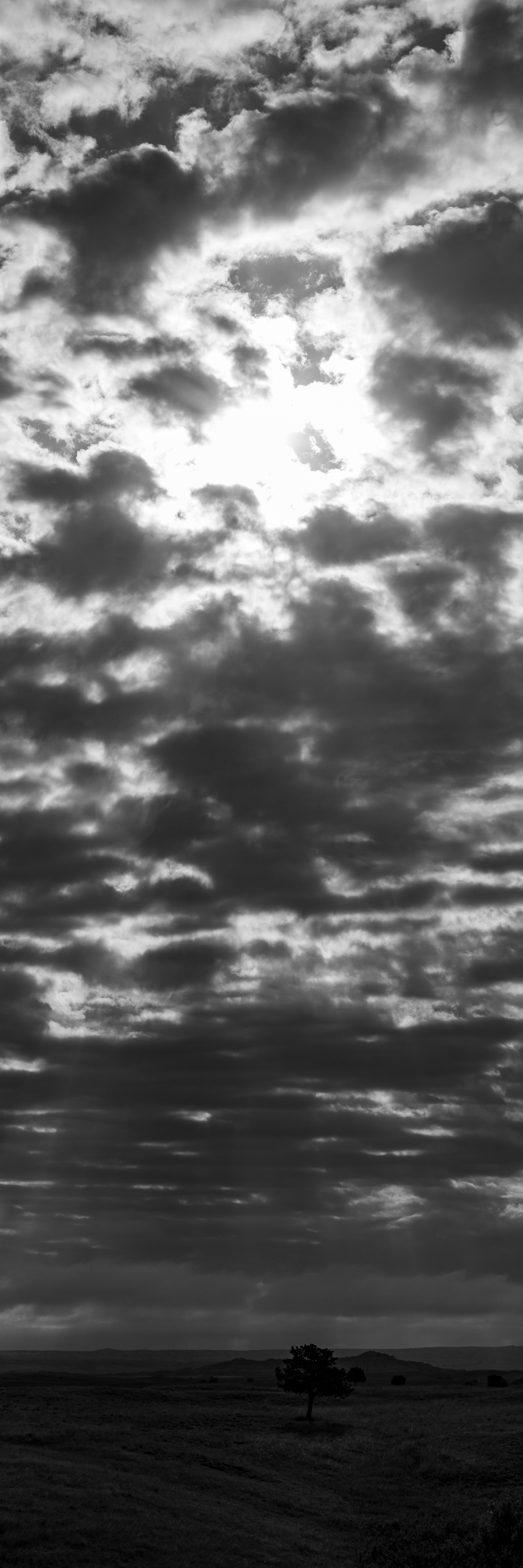
After yesterday’s more technical description of my Sage Creek Valley flight, today an attempt of a second layer.
I think about photography as a dialogue — between the features of the subject and my abilities to perceive them.
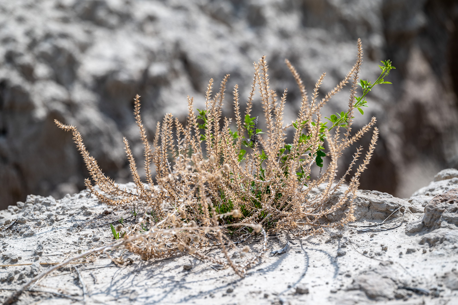
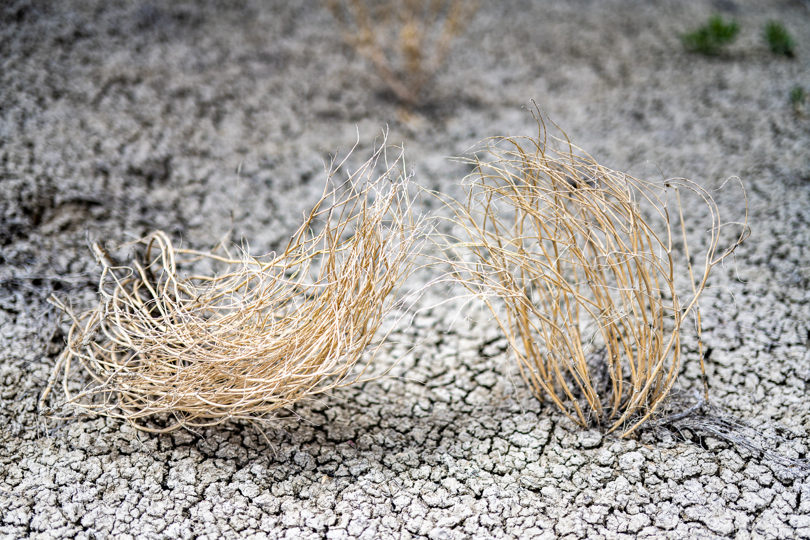
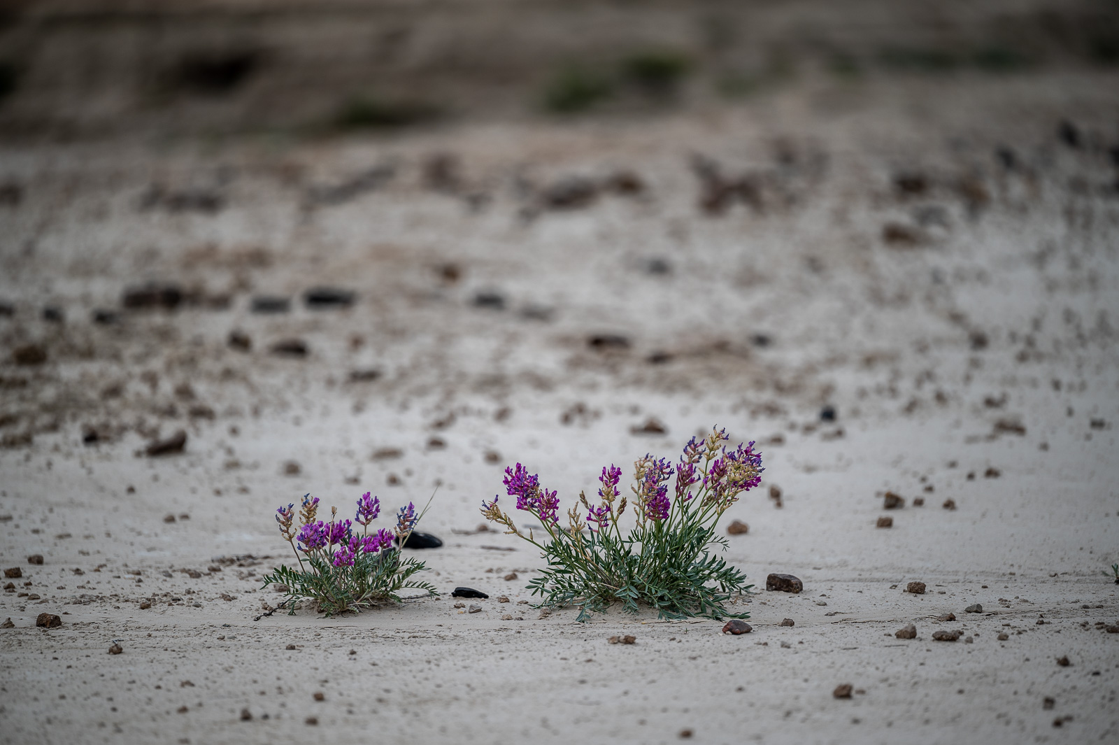
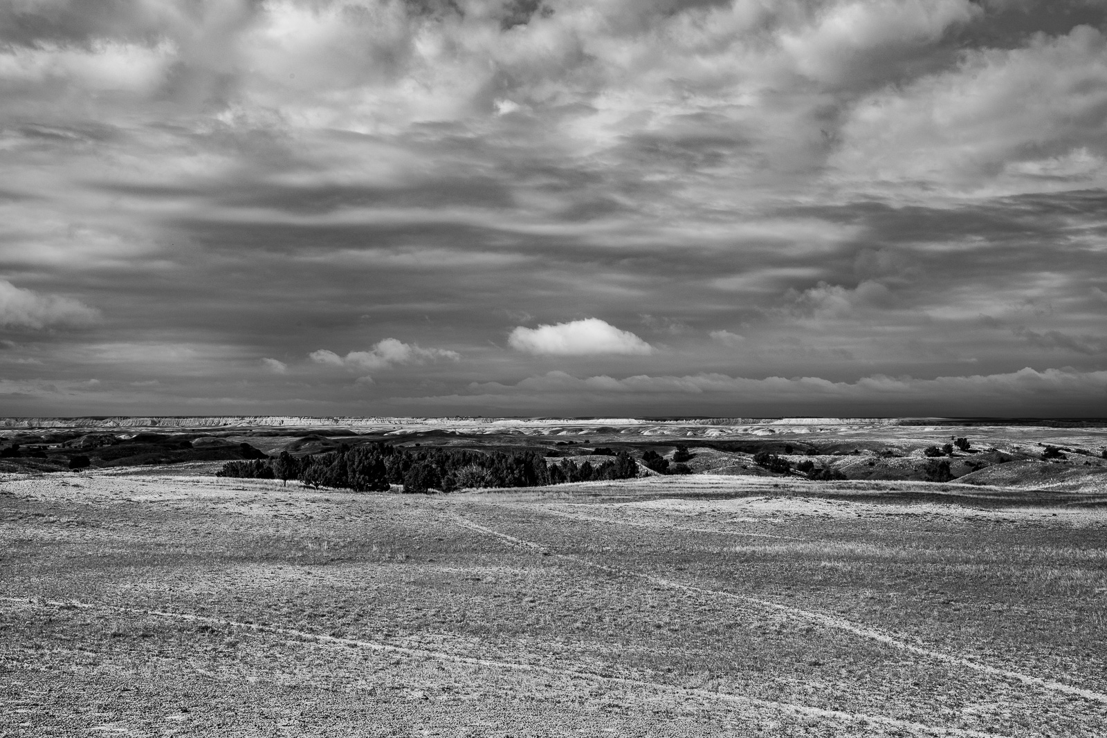
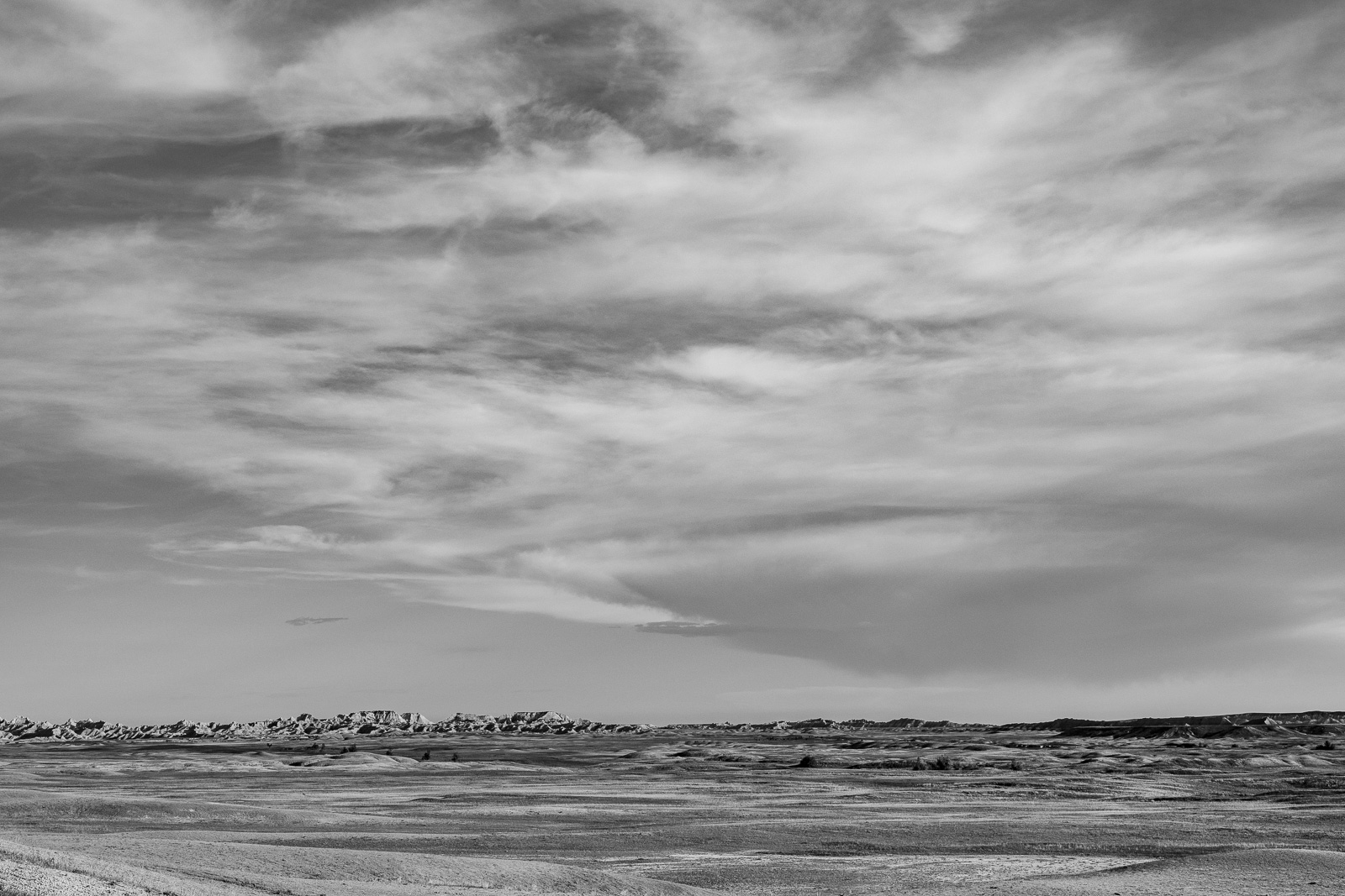
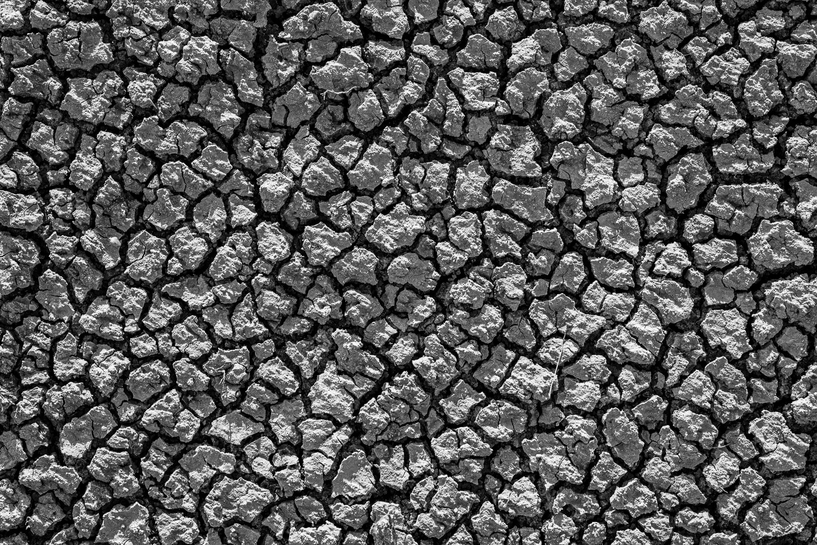
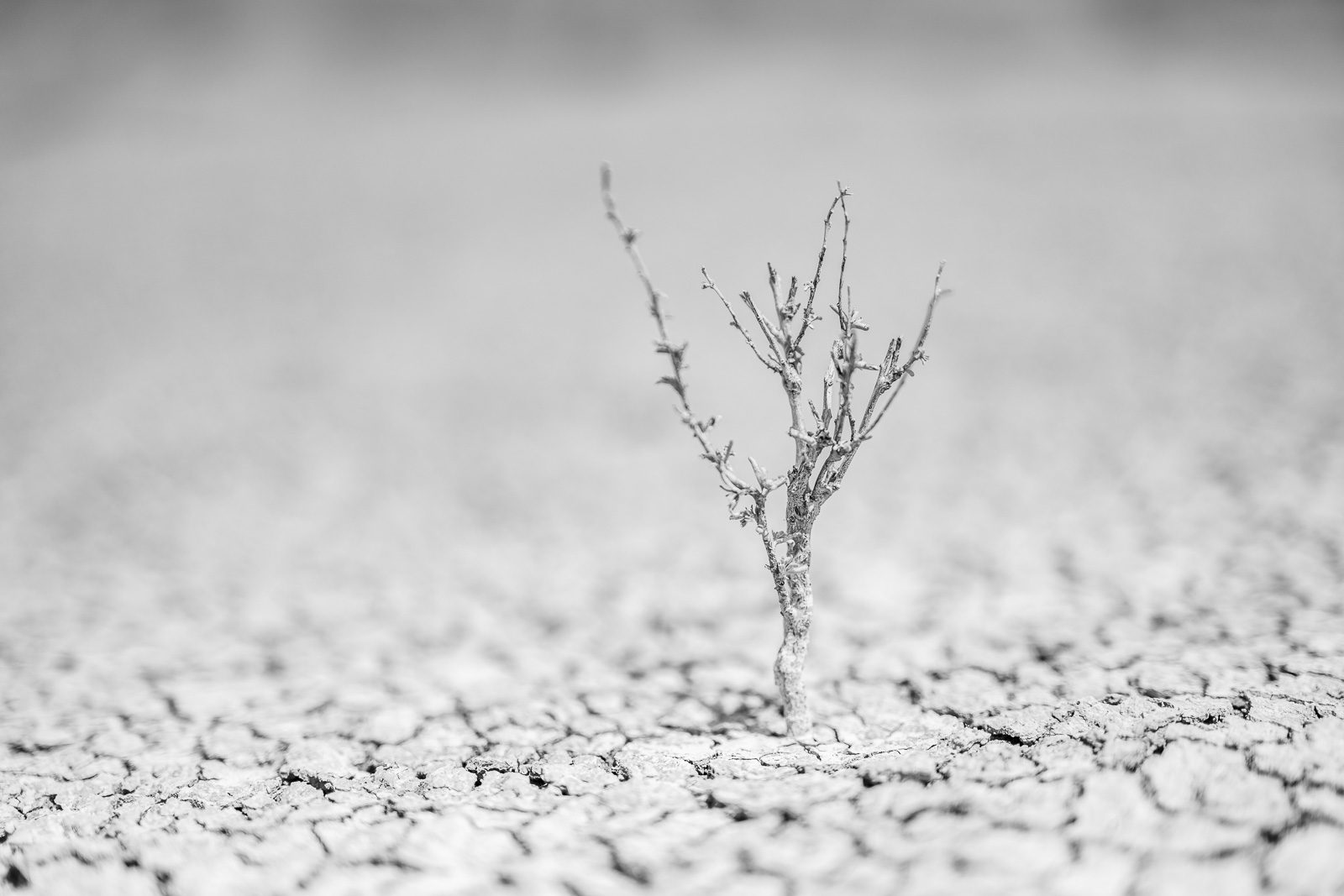
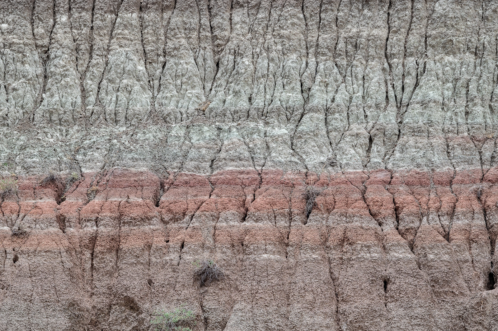
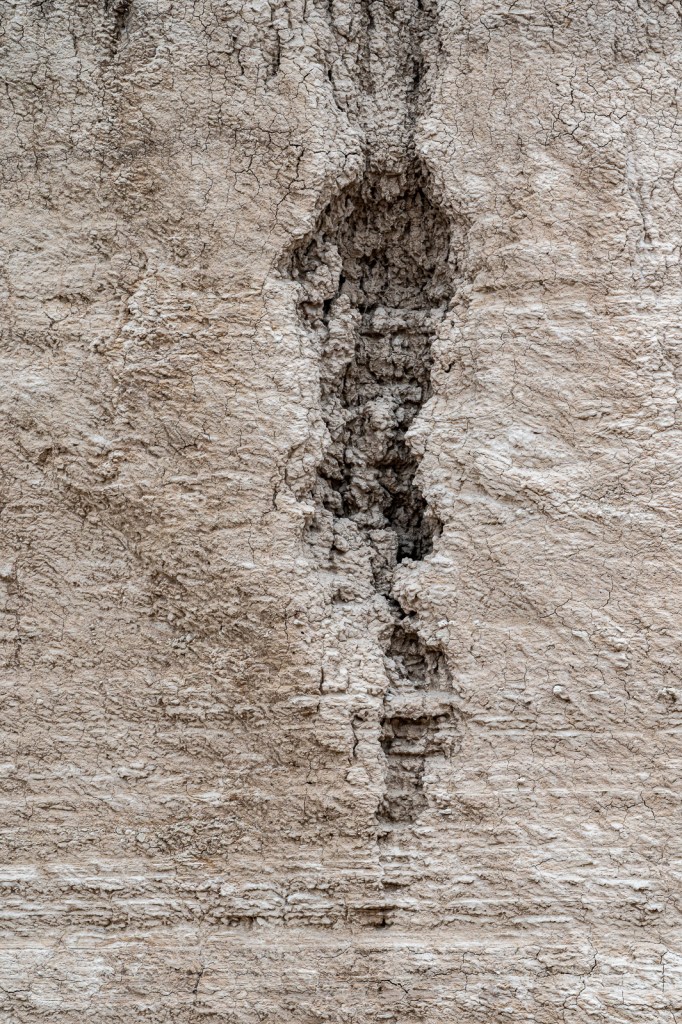
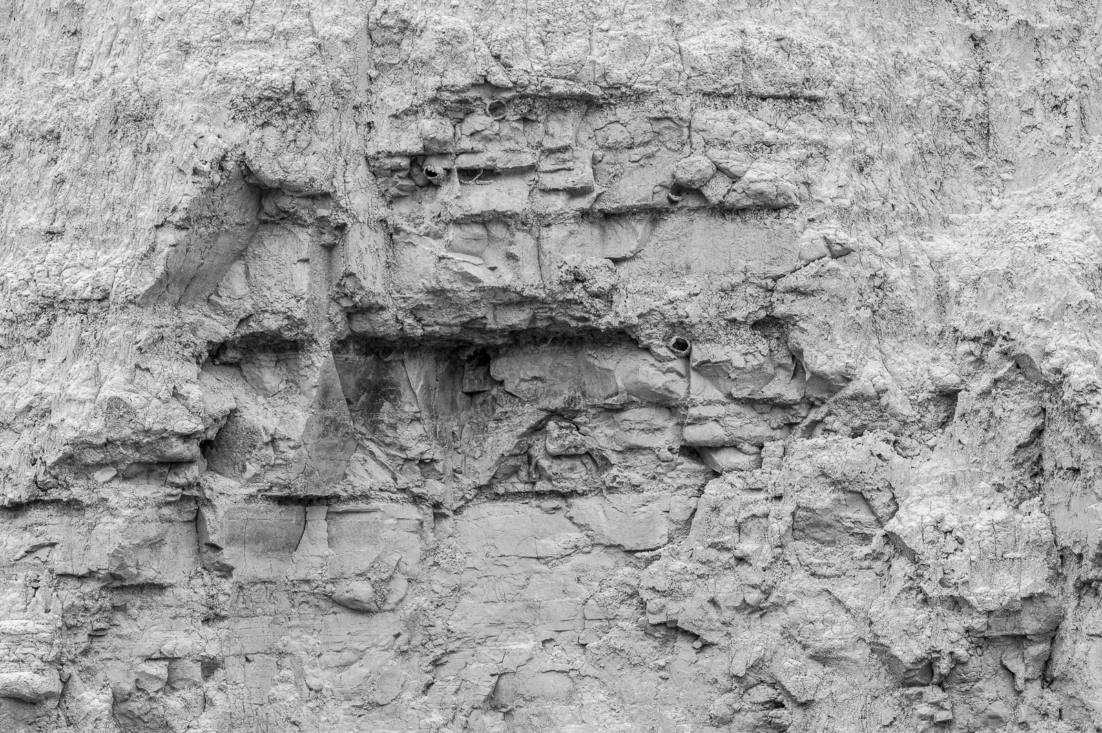
The sparsity of the landscape and its contrasts call for black and white, and this is a good choice, because it also helps emphasizing the occurrences of natural borders.
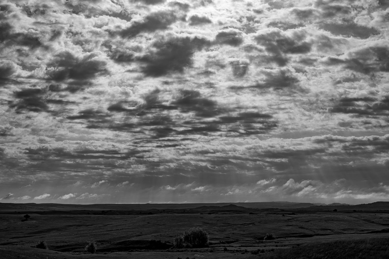
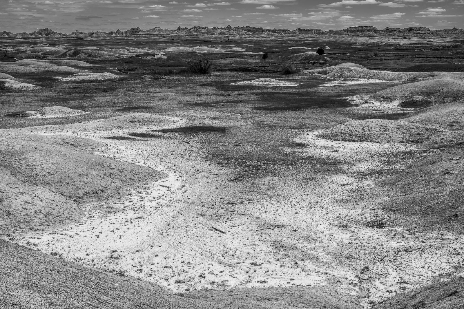
Here the borders occur at different scales and in different contexts, in the texture of the ground, the vast horizons,
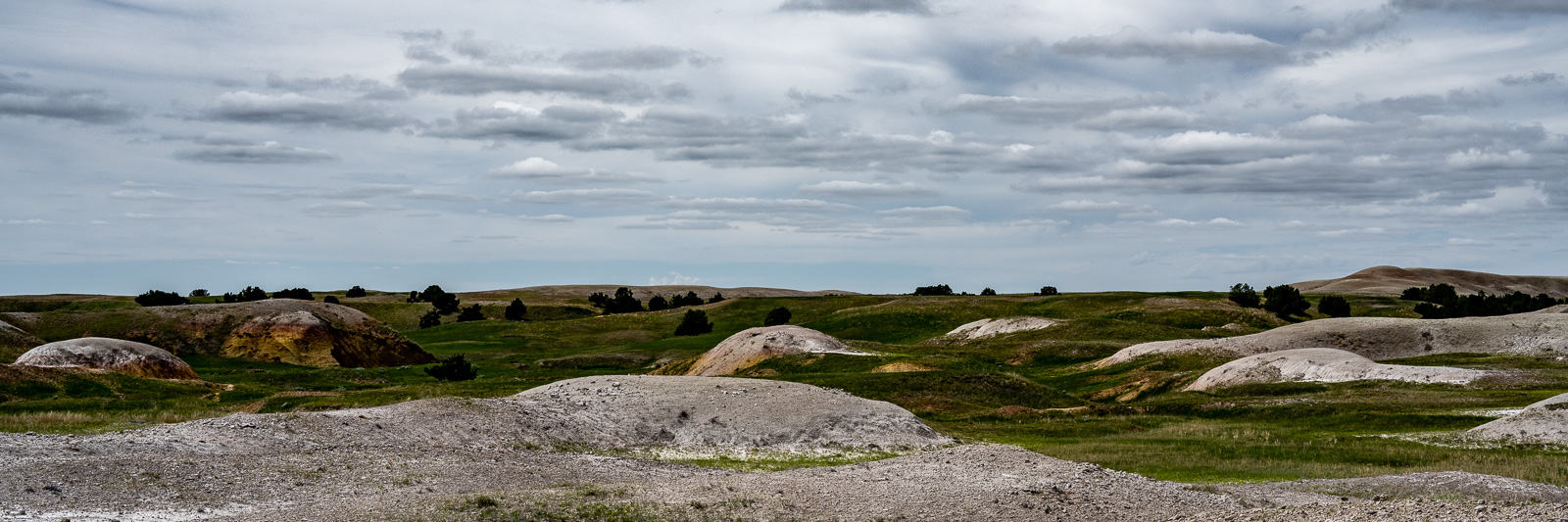
and in the transition between grassland and desert.
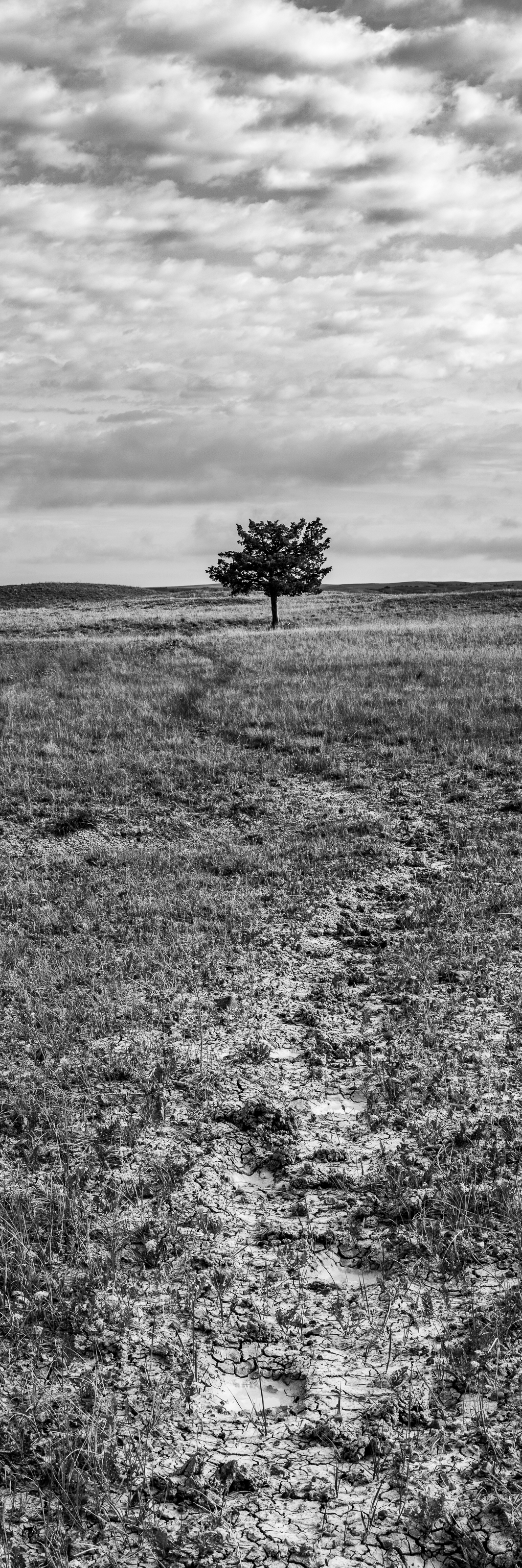
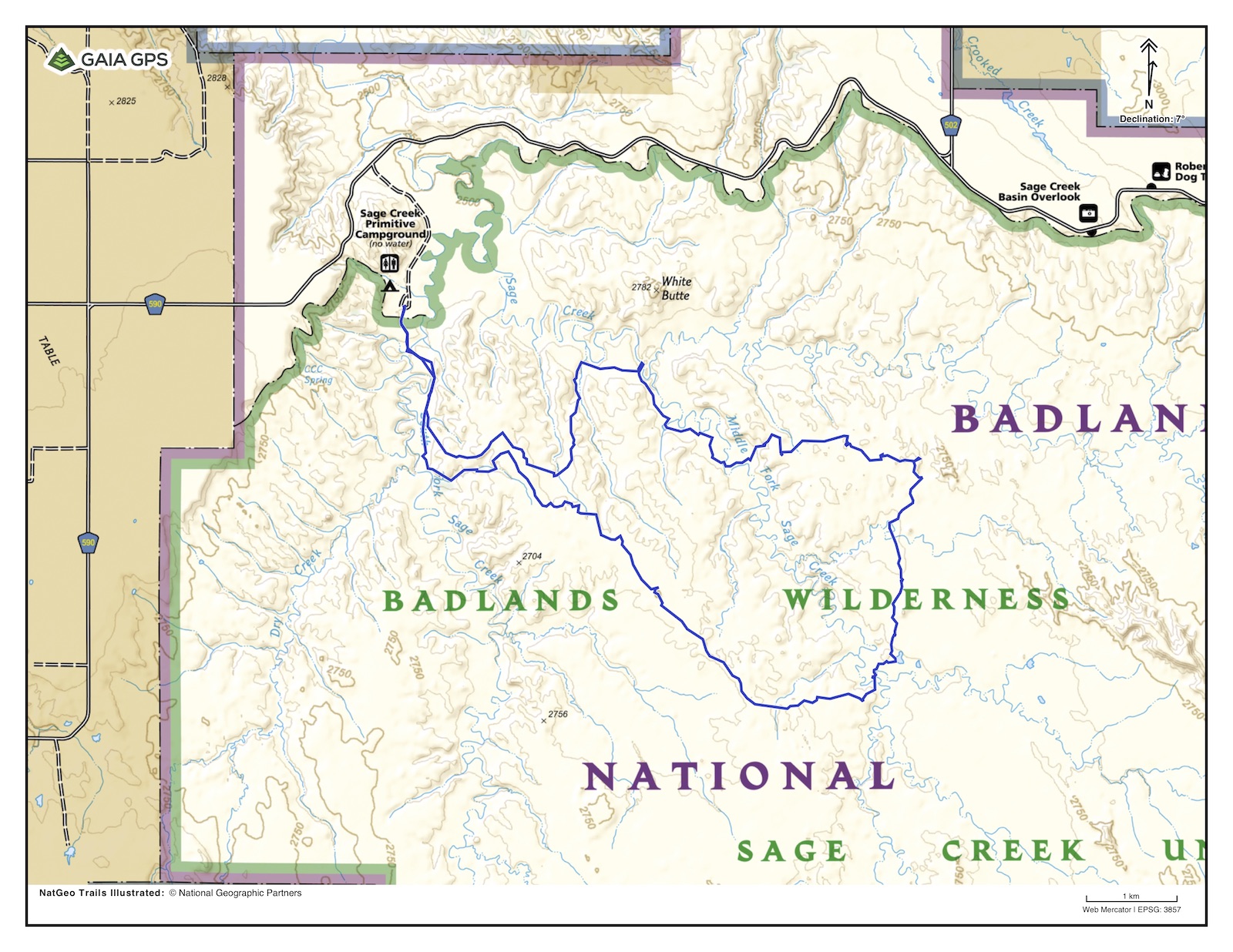
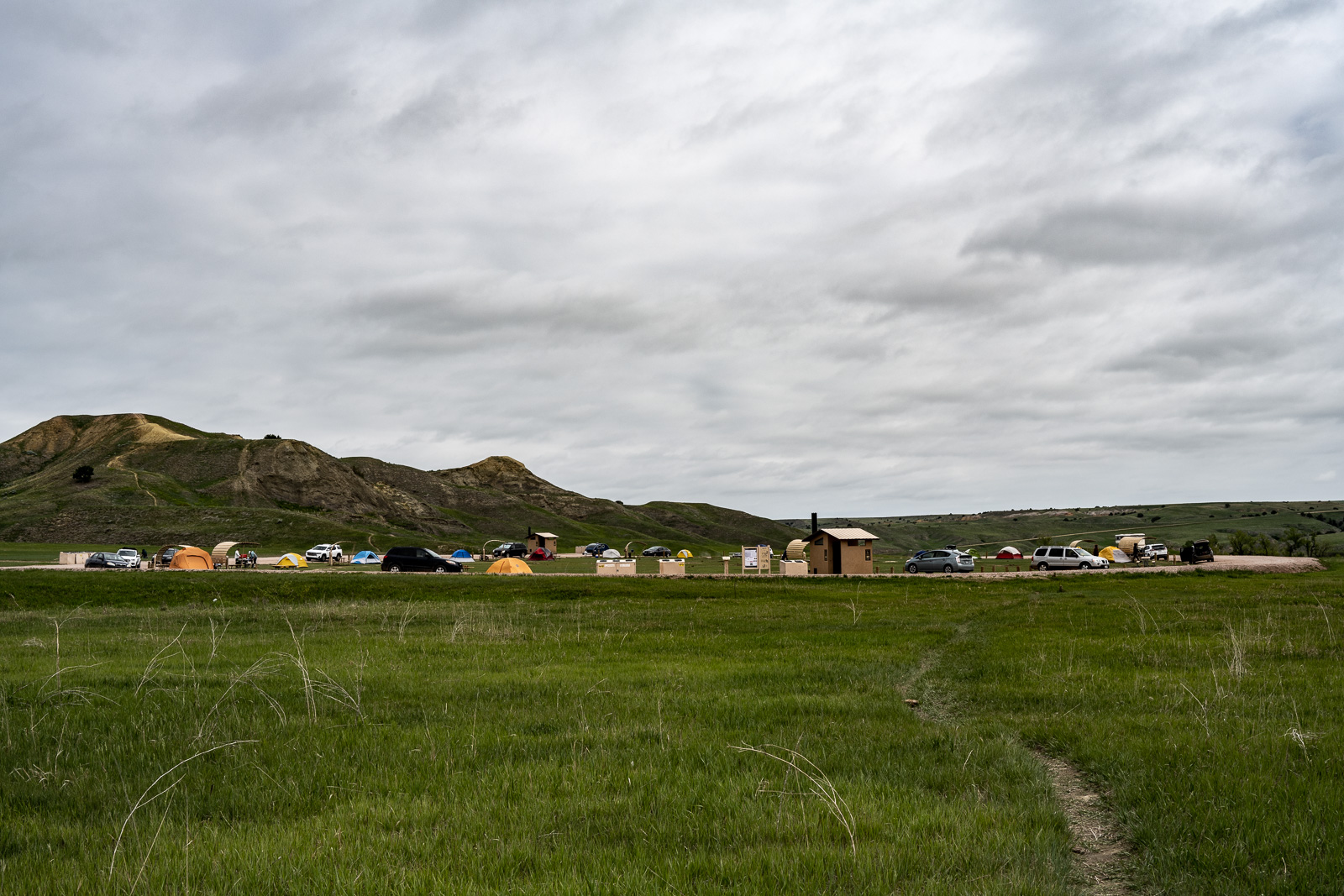
So off I went for an overnighter in the backcountry. My route is above, clockwise, about 12 miles, which one could do in a day, but maybe not with taking as many photos as I did … Here is a first layer.
While there are stream crossings, there is no pumpable water, neither at the campground, nor in the wilderness. For me, that meant carrying 4 liters of water, barely enough for two days.
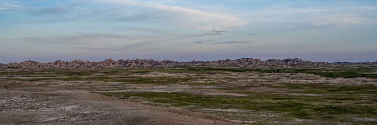
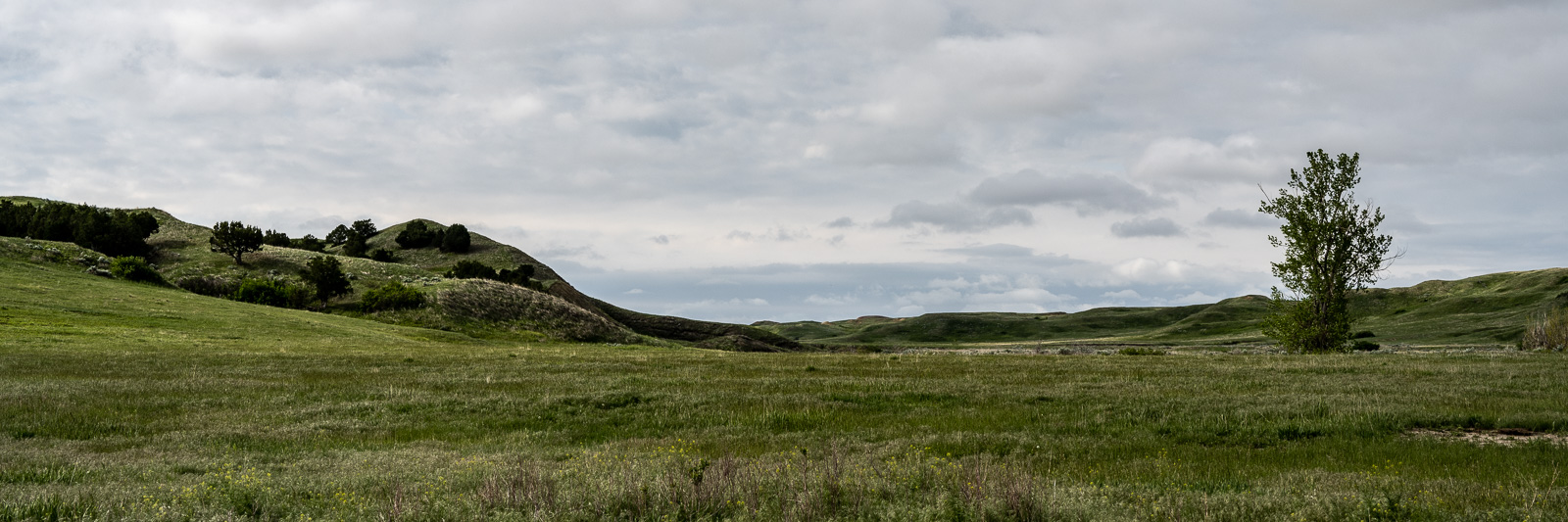
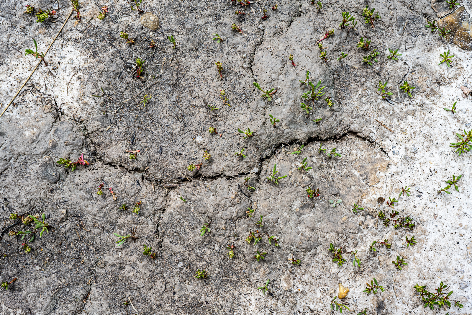
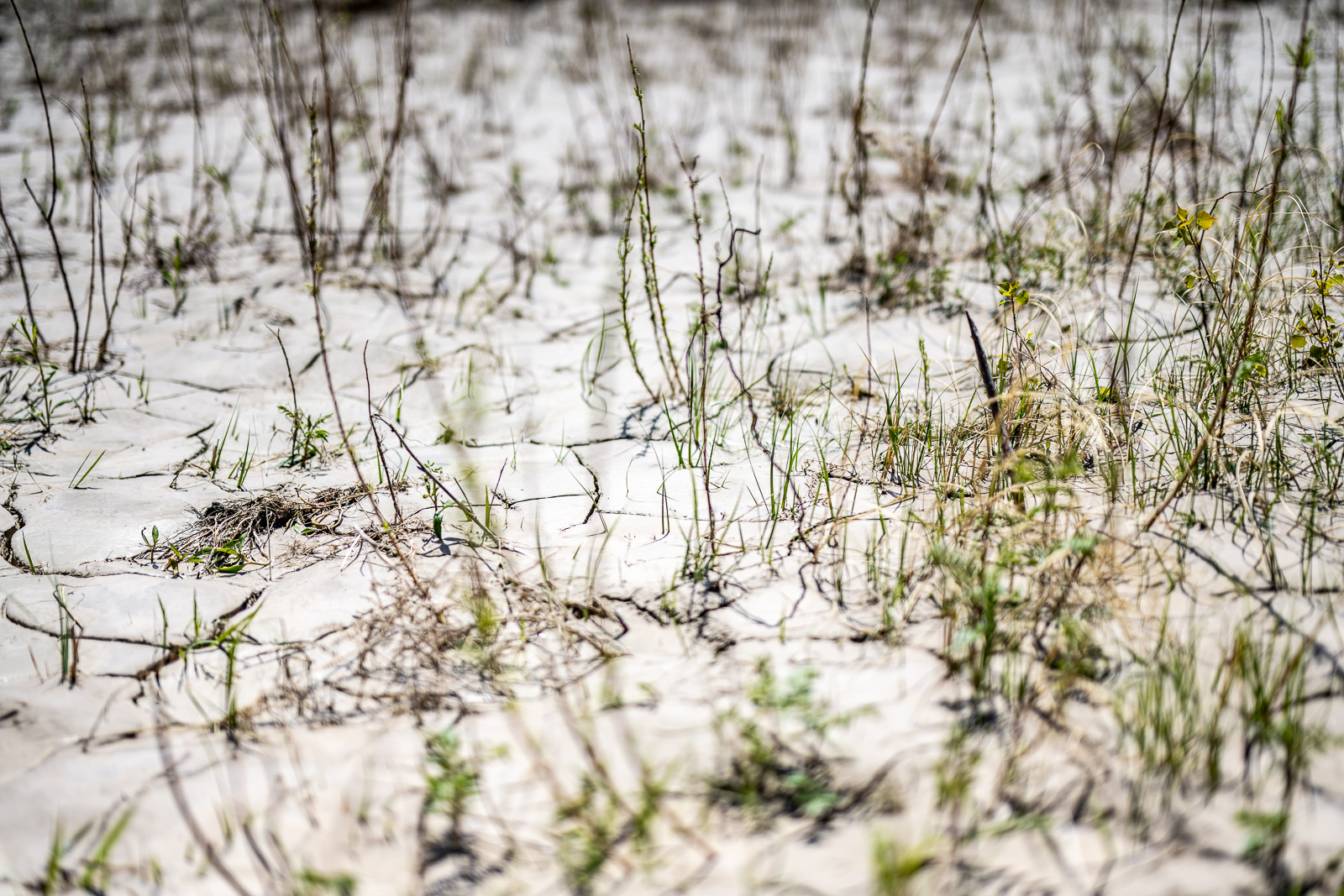
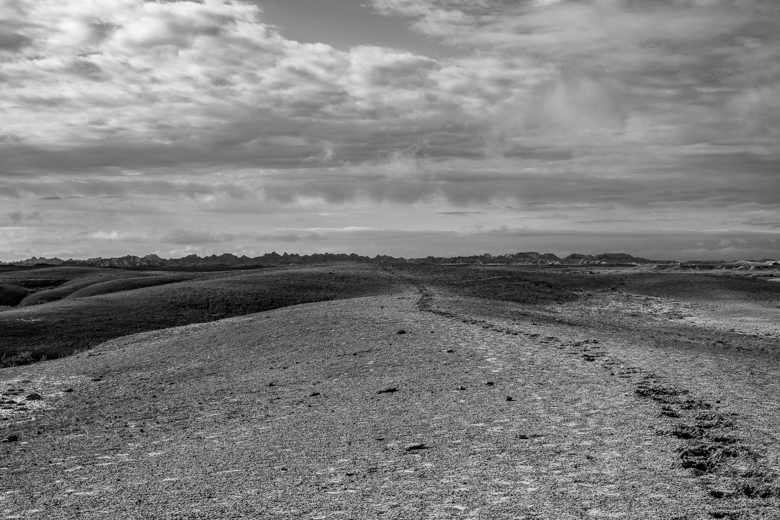
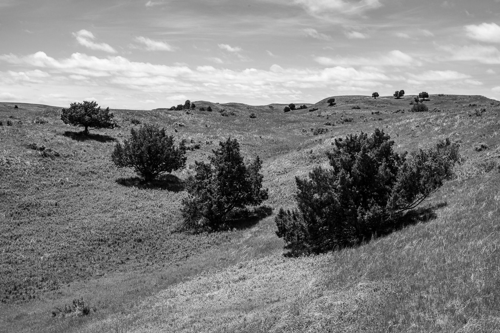
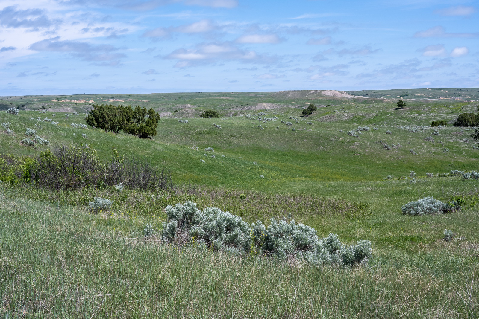
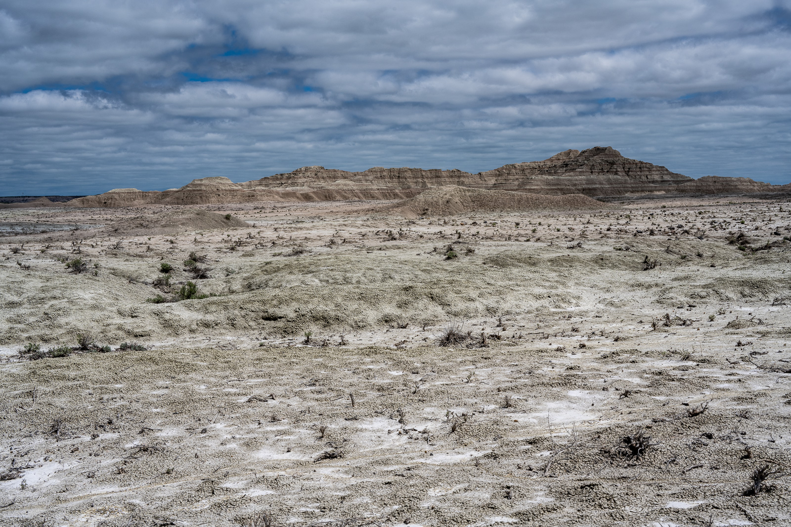
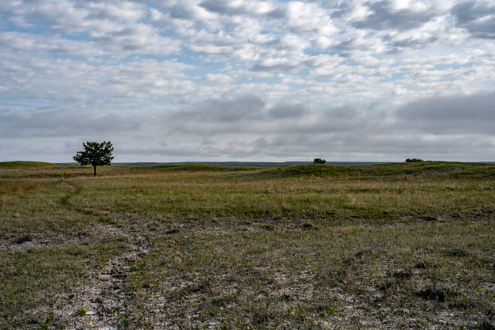
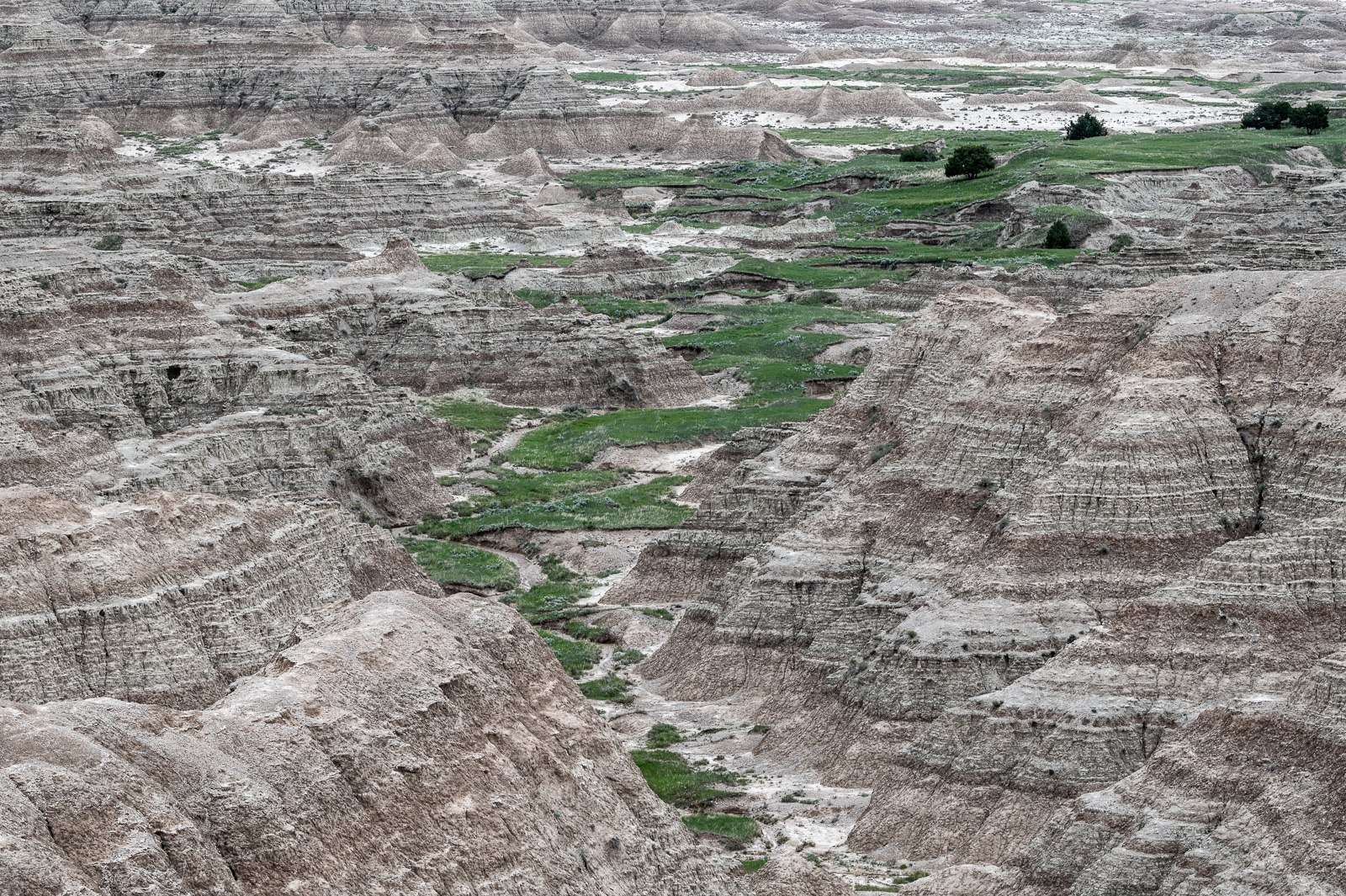
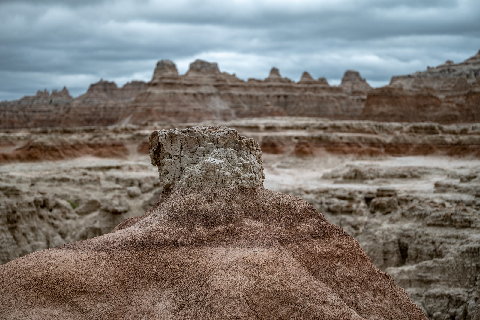
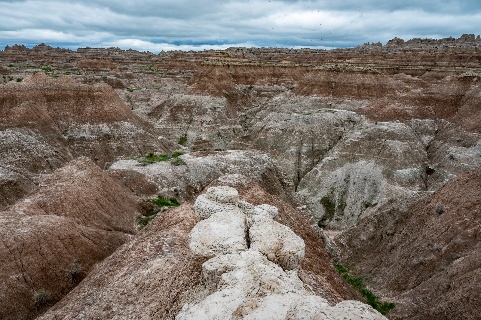
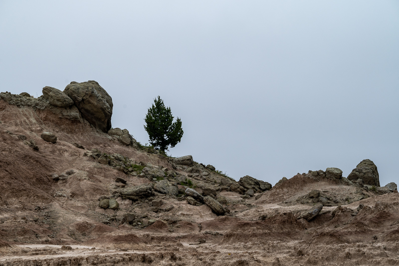
What struck me first was the lush greenness of this region. Where did all the arid rock formations go?
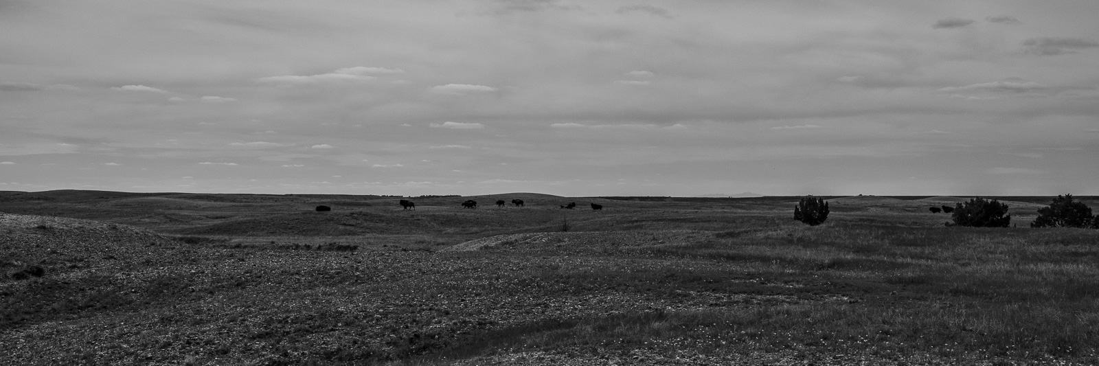
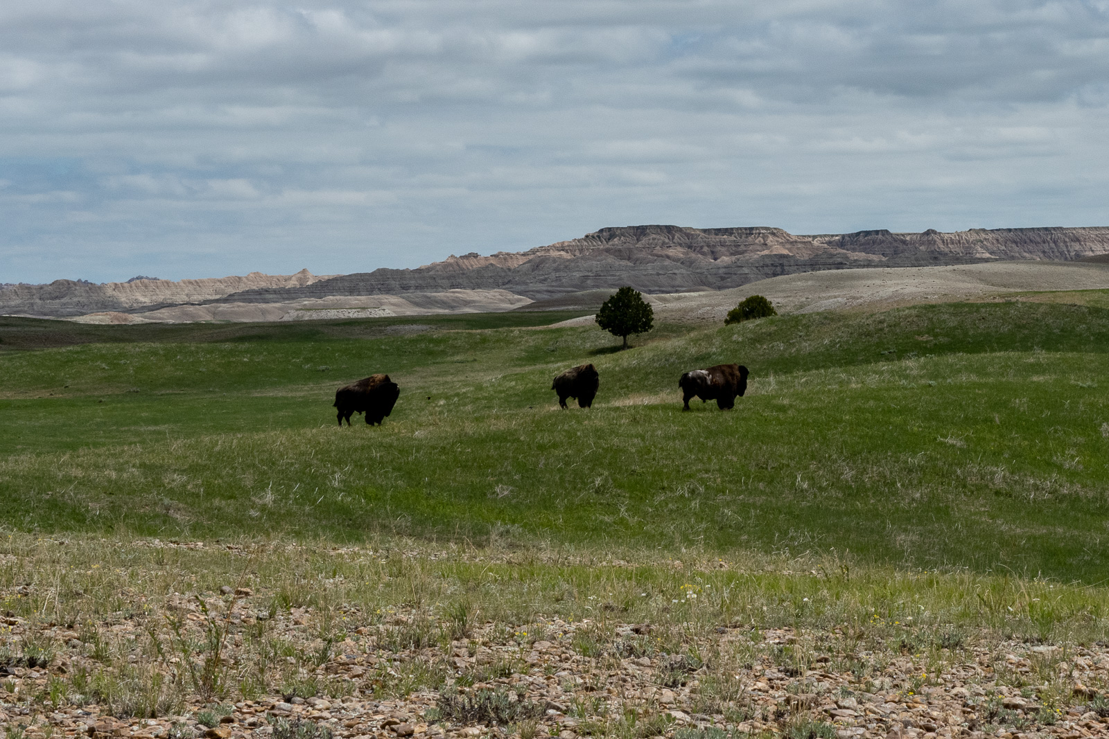
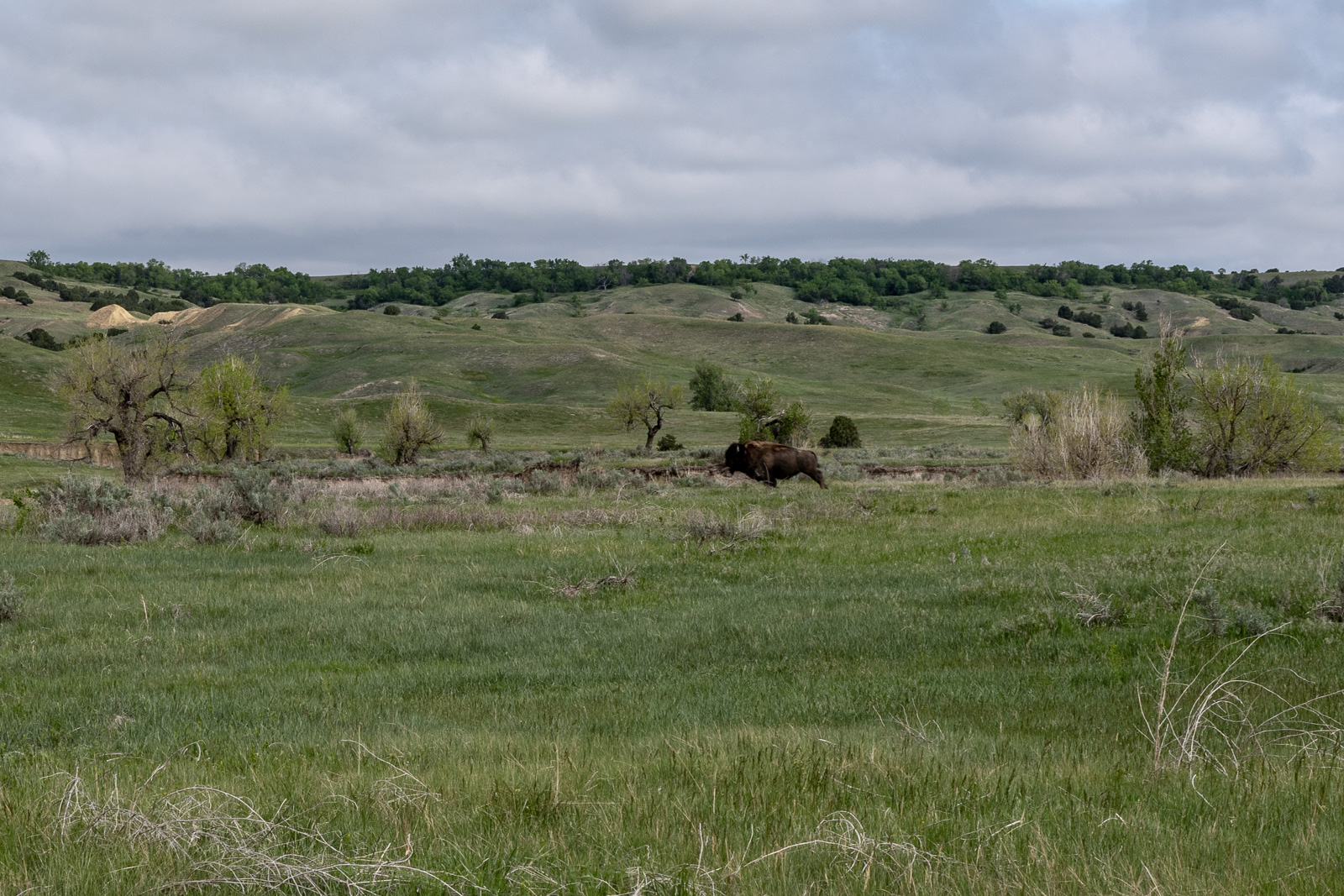
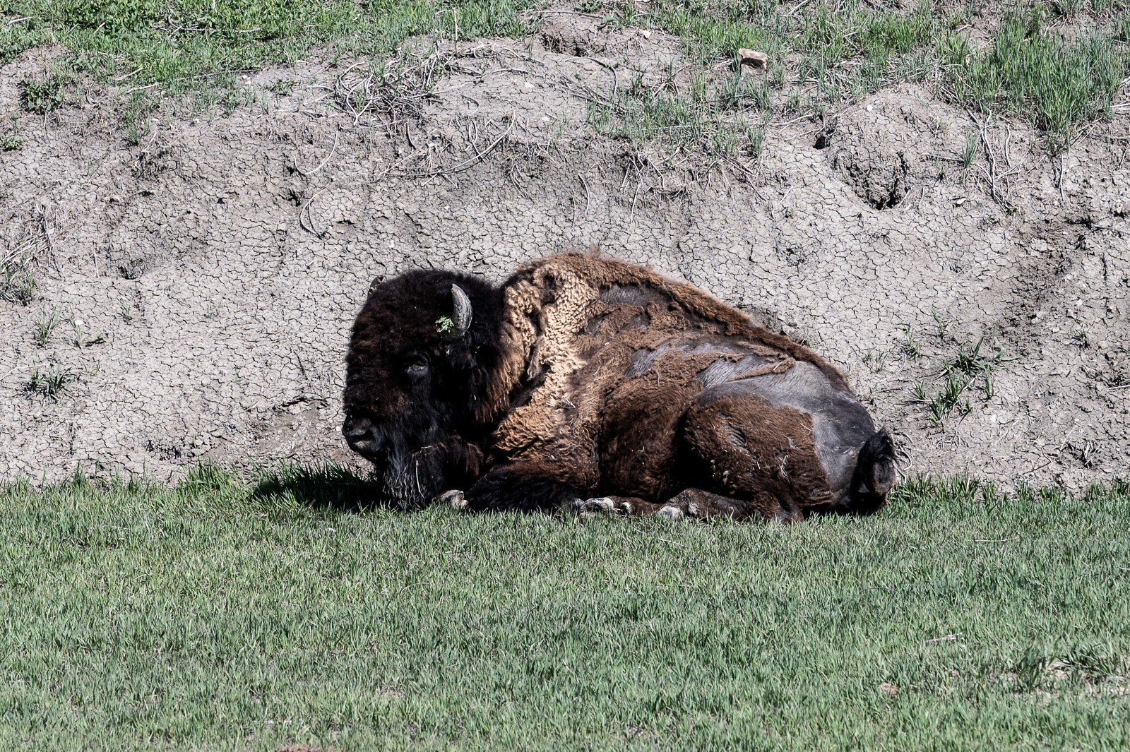
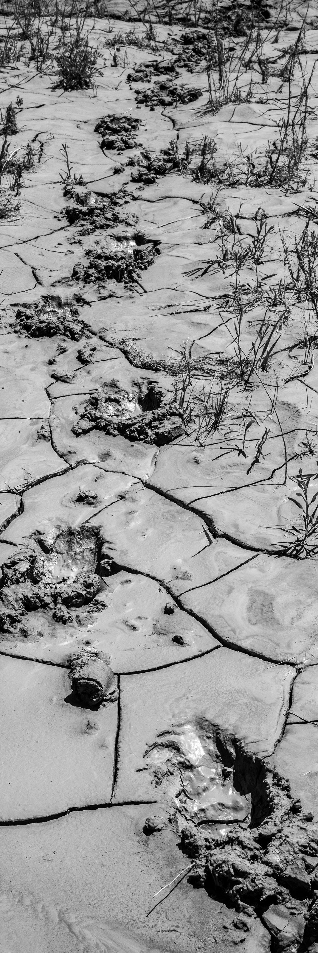
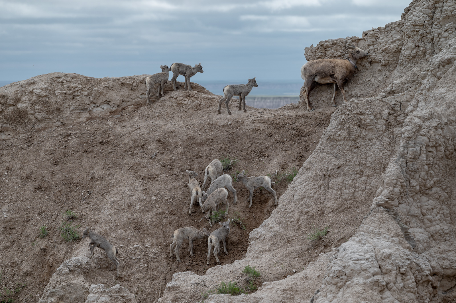
Then there are no trails. What sometimes looks like trails are bison tracks. More about them in a later post.
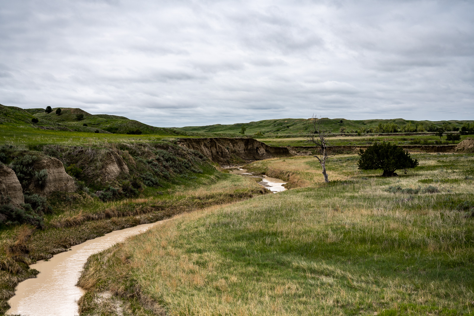
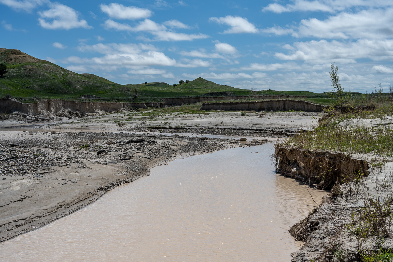
Now I have reached the north fork of Sage Creek, which I didn’t dare to cross. Sinking in ankle deep is ok, but not knee deep without guarantee that it ends there.
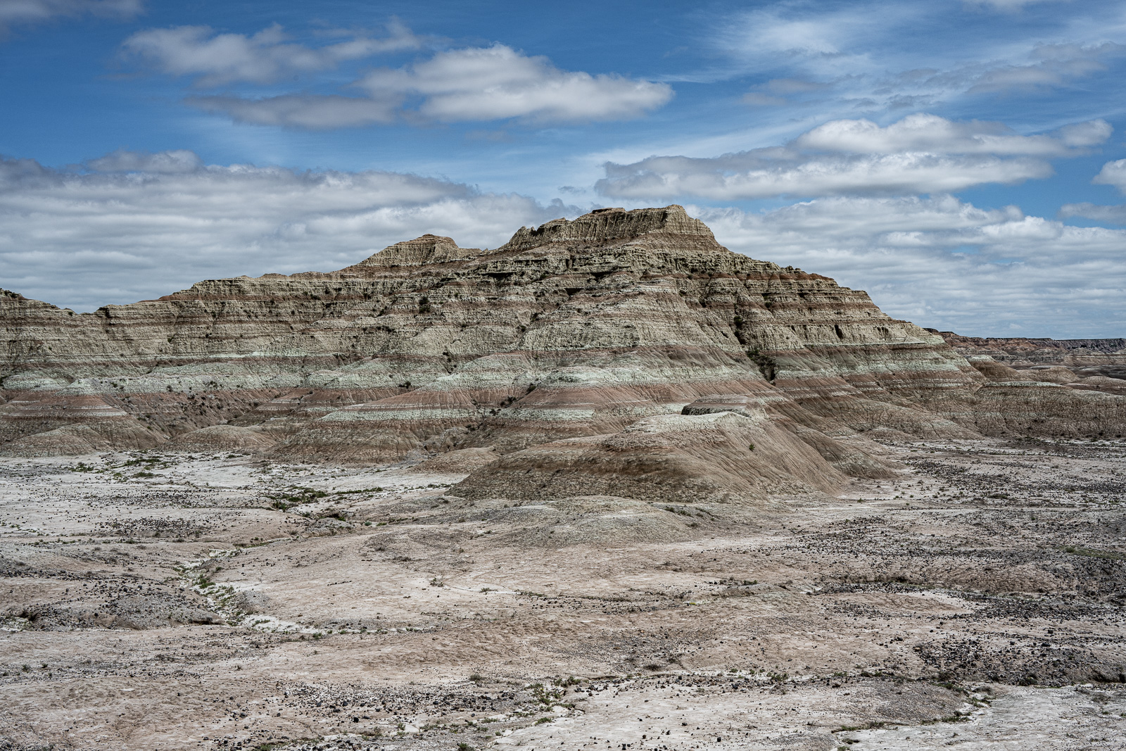
So instead I followed the middle fork for a while, crossed when it looked reasonable, and continued east. The landscape underwent some changes soon.
It’s is very tempting to keep going beyond exhaustion. Don’t. Use map, compass, GPS, and set goals. Easy to say.
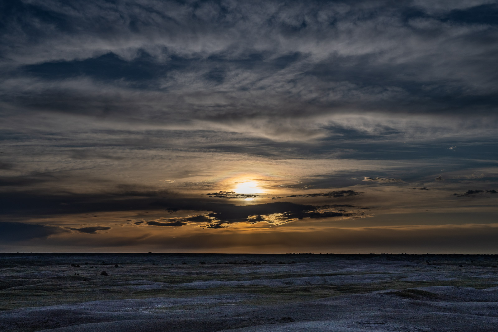
Pitching a tent early gives shelter in the scorching sun and allows to enjoy the sunset. Finding a good spot for a tent in this vast emptiness was surprisingly difficult. I wanted to avoid wind, bison tracks, mud, and tall grass.
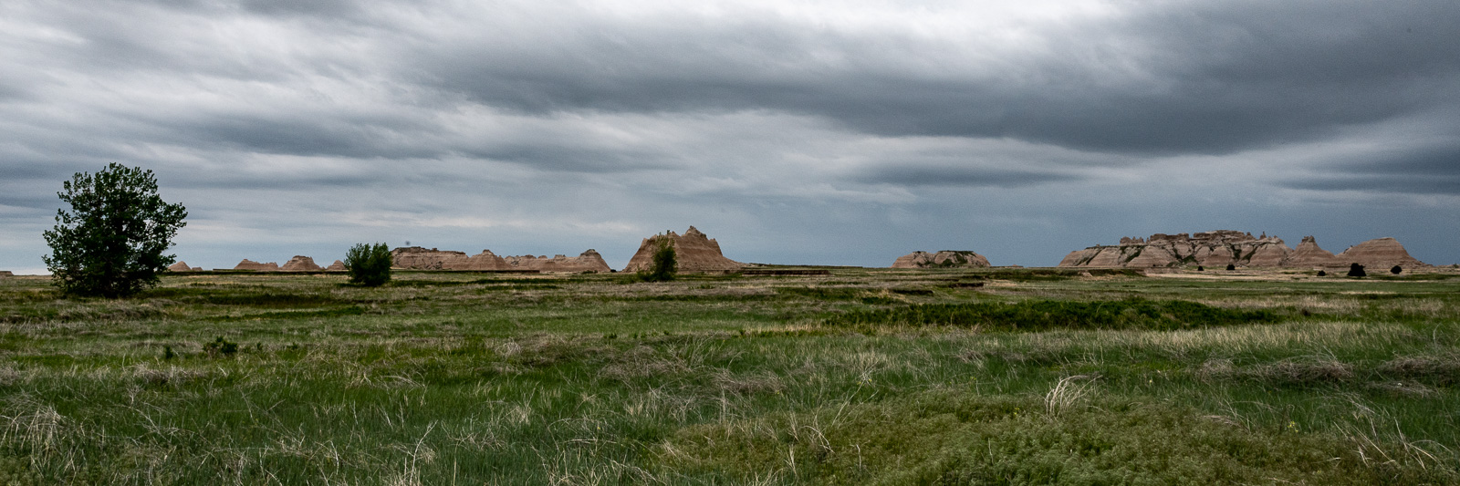
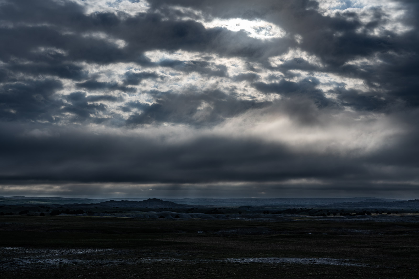
The next morning looked a bit gloomy, but I didn’t get any rain.
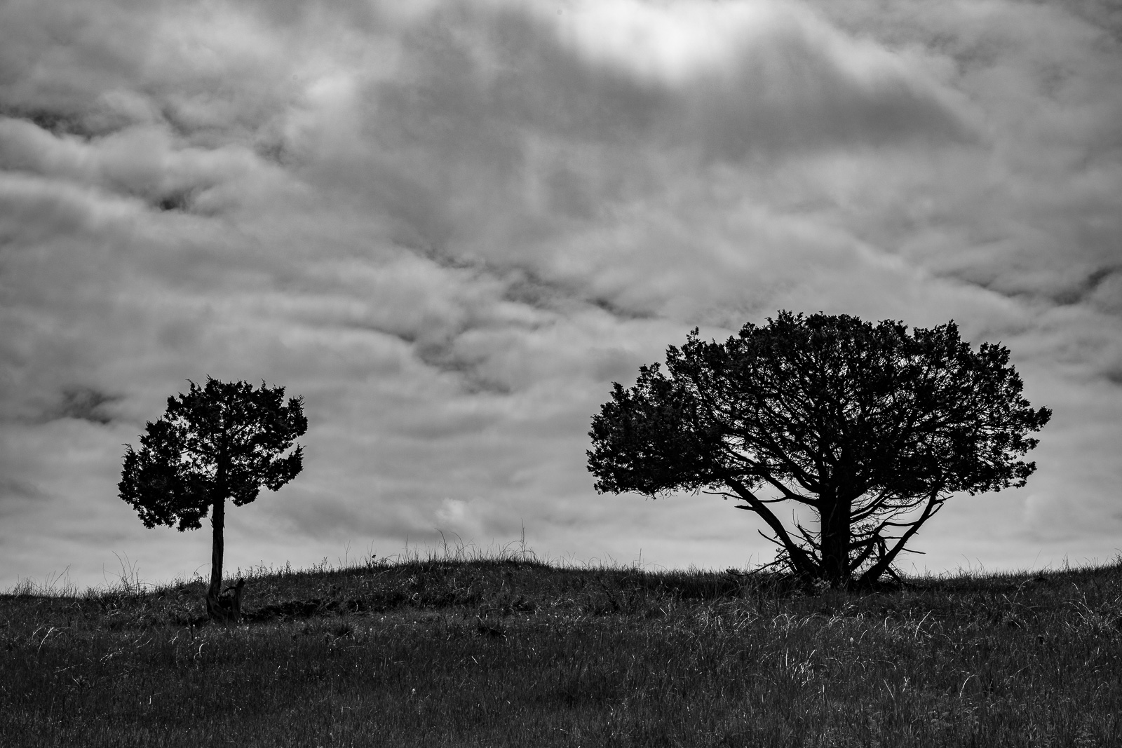
Time to return. Isolated trees are ideal landmarks, as the bisons obviously know, too. Tomorrow we’ll get the second layer.
These are also obvious architectural design patterns whose lack or presence in a building we much more easily perceive than their lack or presence in ourselves.
Windows offer a protected view, the exchange between inside and outside is virtual, and, like at the Window Trail, there is no safe way to step outside.
The Door is an entirely different story. And what Alexander writes about doors is valid also for our personal doors: Placing the main entrance is perhaps the single most important step you take during the evolution of a building plan.
On the map, the Door trail looks even shorter than the really very short Window trail, but the former does allow us to step outside into a vast landscape.
We instantly encounter unfamiliar heights, dangers, and the fear of getting lost.
So why should we step vvvvv
So why should we step outside? What are the benefits of an encounter with the undesigned?
In essence, I think, this is a form of survival instinct. Life needs protection but doesn’t like confinement.
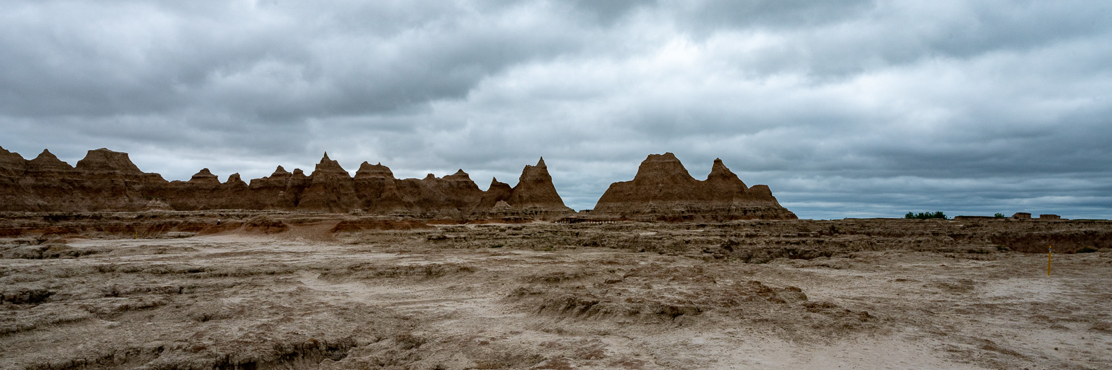
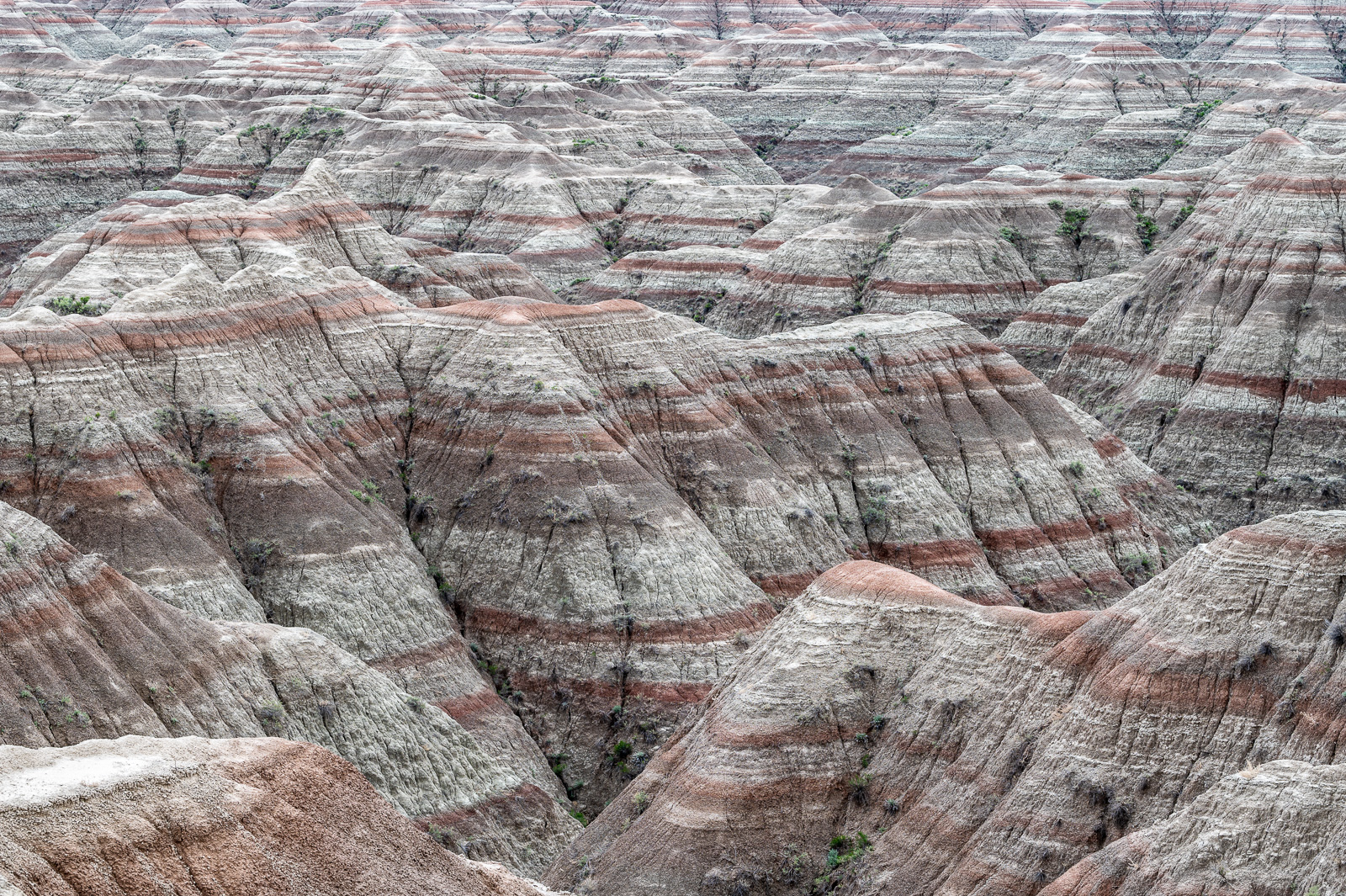
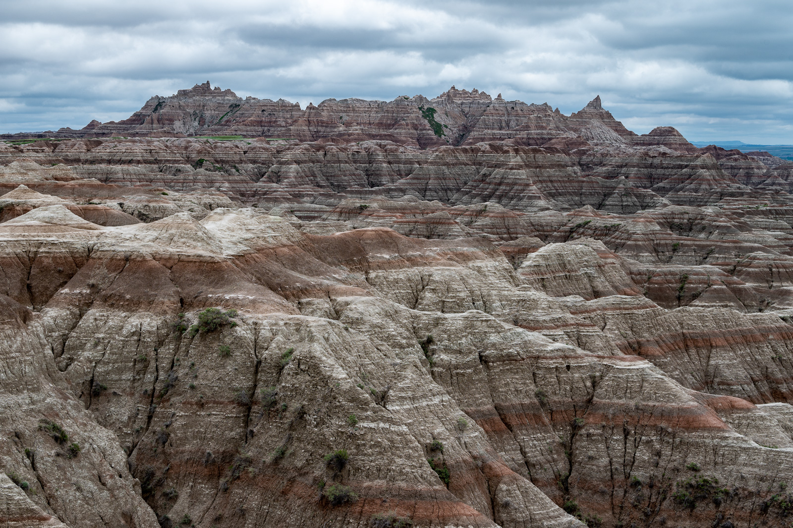
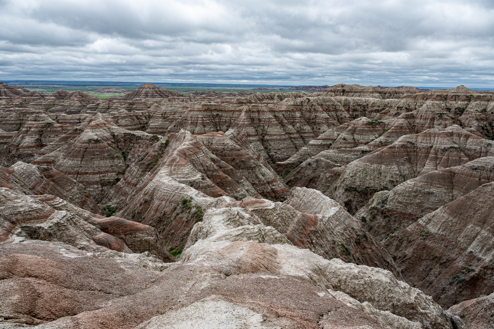
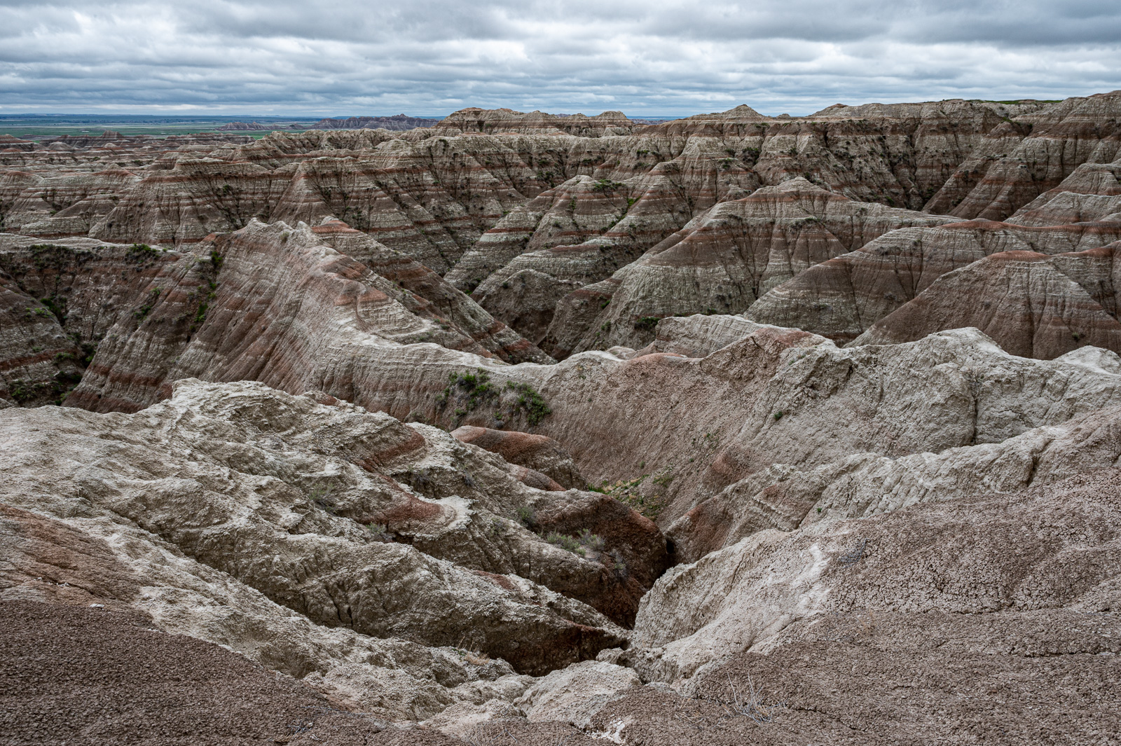
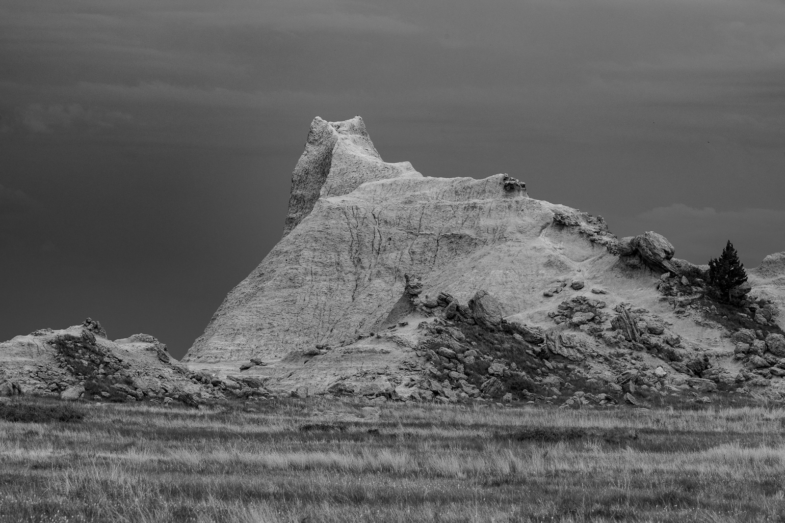
After the Notch Trail’s gloomy rock faces it’s time for the Castle Trail, an 11mile long easy hike through serene Badlands scenery. Today we are hiking the first portion, tomorrow we will close the loop by returning on the Medicine Root Trail.
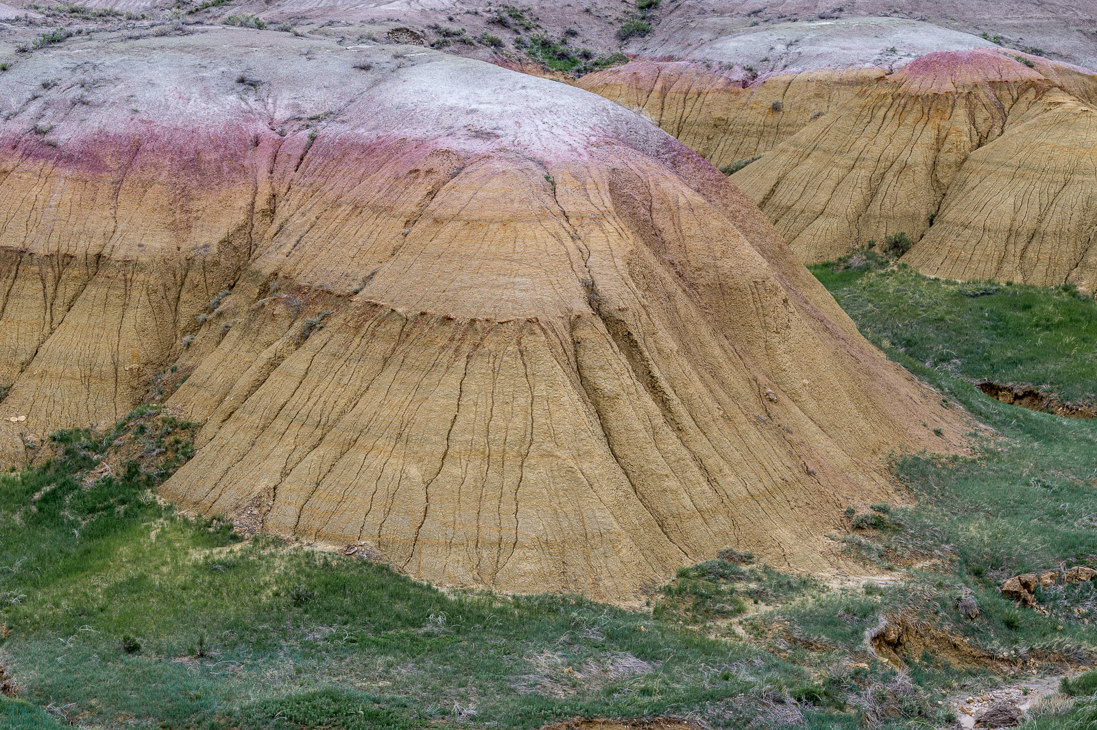
The beginning gives the impression of a Badlands nursery where smaller and younger Badlands rock structures emerge from the ground and grow.
But the further one walks, the more distant they become, tantalizingly so. What is the right distance? Do we always want to stay apart, or do we always want to be near?
Few people walk here during a cloudy afternoon, and there are few signs of civilization.
Trails and phones lines allow for different kinds of connections — what is more important, instantaneity or physicality?
Then the landscape opens up, becoming inviting and forbidding at the same time, another strangely familiar balance.
Could this become home? Now we have reached Saddle Pass — —