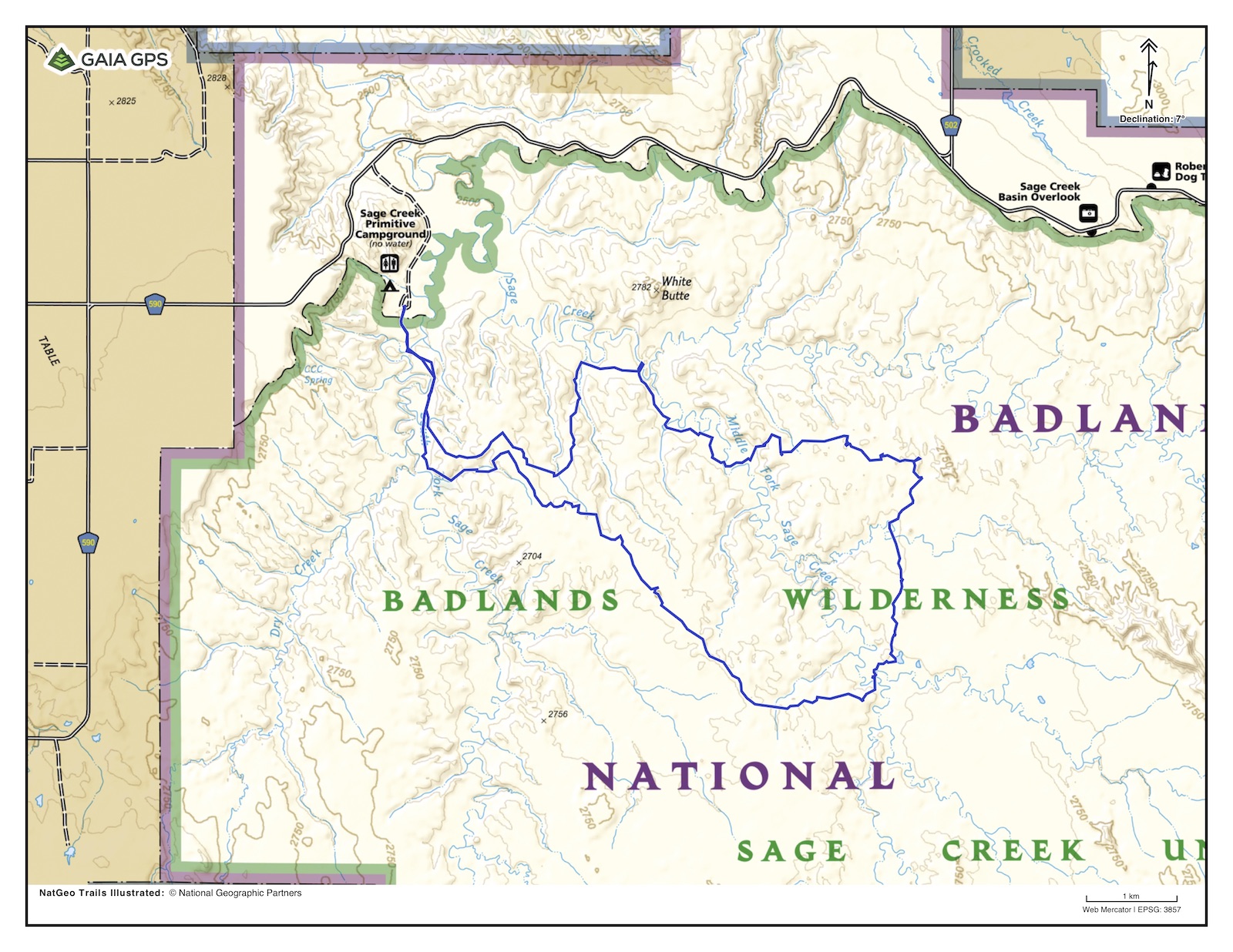
So off I went for an overnighter in the backcountry. My route is above, clockwise, about 12 miles, which one could do in a day, but maybe not with taking as many photos as I did … Here is a first layer.
While there are stream crossings, there is no pumpable water, neither at the campground, nor in the wilderness. For me, that meant carrying 4 liters of water, barely enough for two days.

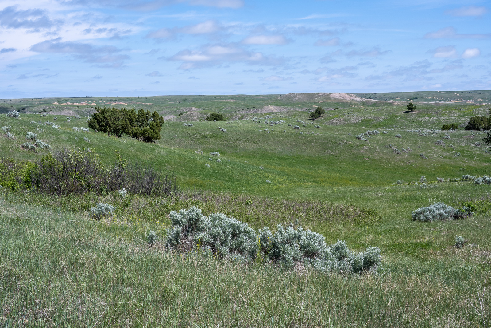
What struck me first was the lush greenness of this region. Where did all the arid rock formations go?
Then there are no trails. What sometimes looks like trails are bison tracks. More about them in a later post.
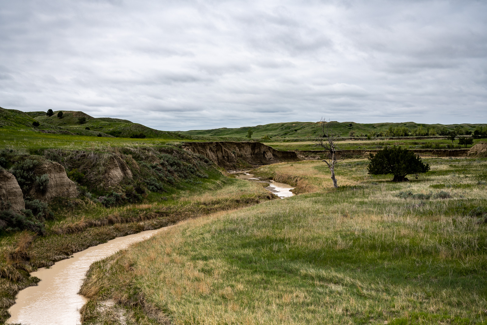
Now I have reached the north fork of Sage Creek, which I didn’t dare to cross. Sinking in ankle deep is ok, but not knee deep without guarantee that it ends there.
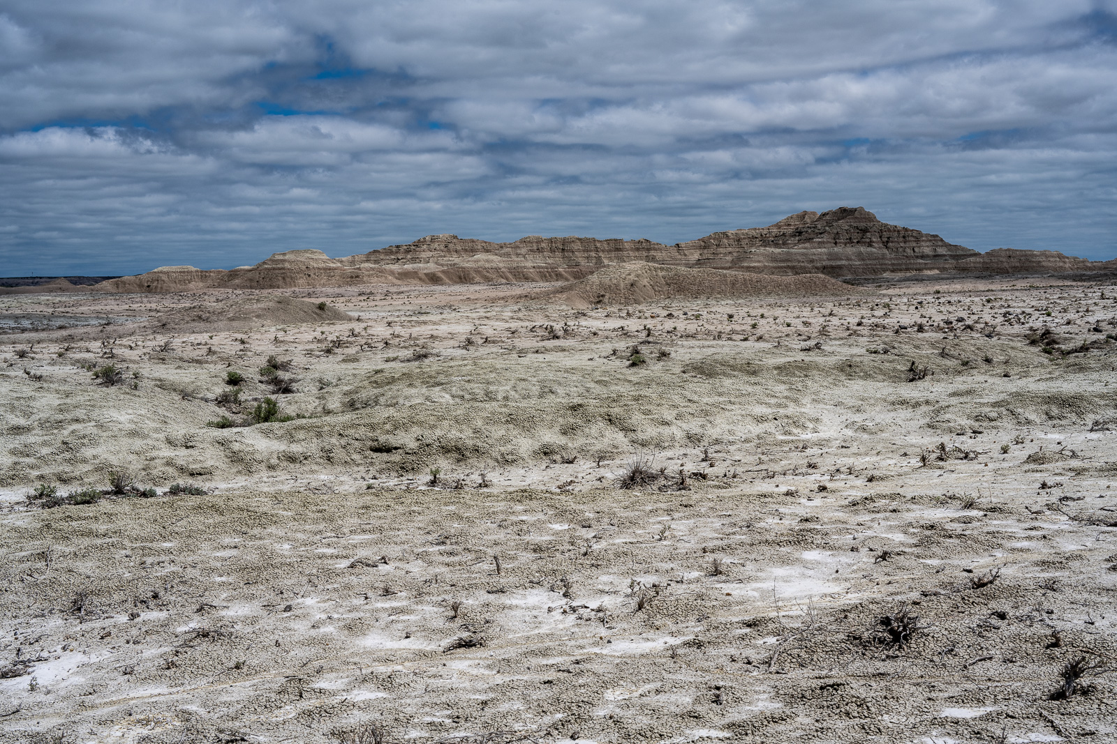
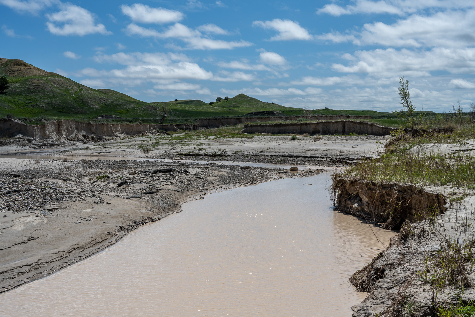
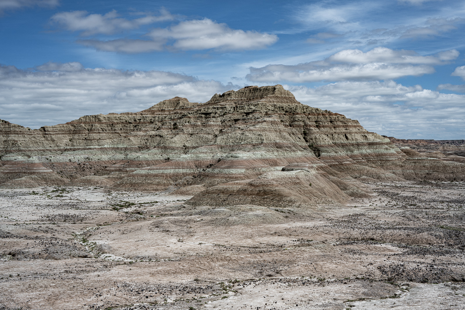
So instead I followed the middle fork for a while, crossed when it looked reasonable, and continued east. The landscape underwent some changes soon.
It’s is very tempting to keep going beyond exhaustion. Don’t. Use map, compass, GPS, and set goals. Easy to say.
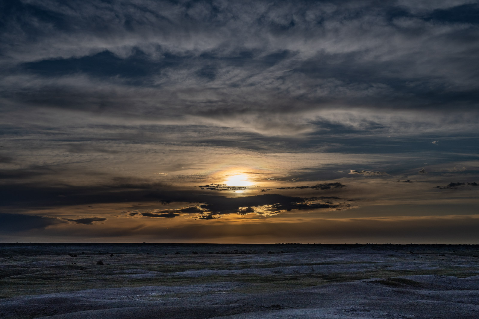
Pitching a tent early gives shelter in the scorching sun and allows to enjoy the sunset. Finding a good spot for a tent in this vast emptiness was surprisingly difficult. I wanted to avoid wind, bison tracks, mud, and tall grass.
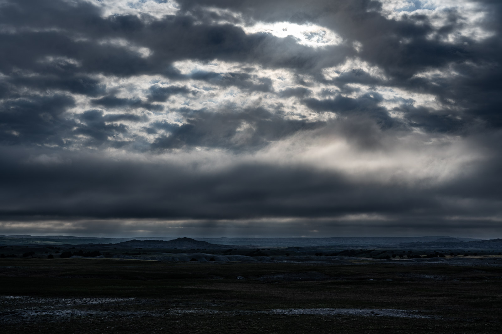
The next morning looked a bit gloomy, but I didn’t get any rain.
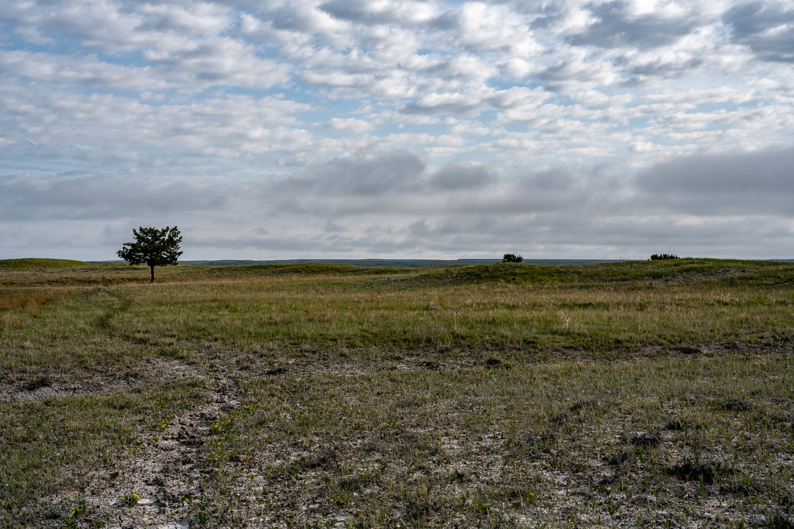
Time to return. Isolated trees are ideal landmarks, as the bisons obviously know, too. Tomorrow we’ll get the second layer.
